L’Observatoire des Territoires

An interactive map to create a profile of French regions
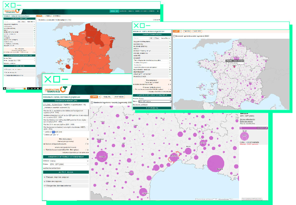
Proportion of vacant dwellings (%) in 2019
An interactive map to create a profile of French regions
Established in 2004, the Observatoire des Territories (Observatory of Regions) collects, analyzes, and disseminates data relating to regional dynamics and disparities. The observatory also gathers data on policies in connection with land use planning and development. Run by a multidisciplinary team of representatives of French regional planning ministries, local elected representatives, regional agencies, and researchers, the Observatoire des Territoires provides a long list of statistical indicators, ranging from the scale of the municipality to the European region. It also publishes an annual report on the state of regions, submitted to France’s prime minister and made public.
In addition, the Observatoire des Territoires has created GéOT, “an interactive mapping module”, which lets users visualize French zoning as it relates to land use planning. Drawing on more than 600 statistical indicators, at 20 regional levels, users can view and create clear and accurate profiles of French regions.
For example, there is a map of land artificialization, data on vacant housing by region, or the geographical distribution of greenhouse gas emissions by emitting sector.